Visiting Korean National Parks Without a Car: Buses, Trails, and Return Planning
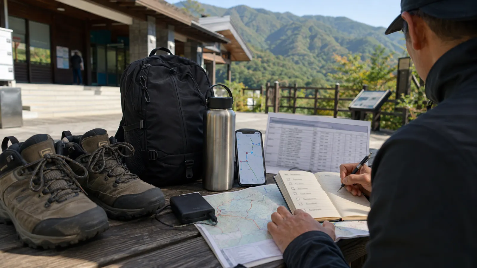
Korea’s national parks include mountain peaks, coastal trails, temples, forests, islands, valleys, and volcanic landscapes. Many can be reached without driving, but public transportation becomes less frequent as travelers move away from major cities.
The main challenge is not always reaching the park entrance. It is matching the bus schedule, trail duration, weather, final return connection, and daylight. A successful car-free visit requires planning the entire round trip before starting the hike.
National parks are not one single entrance
A national park can cover a large area with several entrances, visitor centers, trailheads, temples, villages, and bus stops. Searching only the park name may lead to the wrong side of the mountain. Before traveling, identify:
- Exact trail
- Starting entrance
- Ending point
- Visitor center
- Nearest bus stop
- Nearest town
- Return transportation
- Whether the route is one-way
Two entrances to the same park may be separated by several hours of road travel. Save every place name in Korean.
Choose the trail before choosing transportation
Do not travel to a park first and decide the route afterward. Trail choice determines:
- Bus stop
- Arrival time
- Hiking duration
- Elevation
- Difficulty
- Return location
- Equipment
- Last bus
A short scenic walk and a summit hike require completely different planning. Check whether the official trail is open and whether seasonal restrictions apply. Temporary closures can occur because of weather, fire risk, maintenance, wildlife protection, or trail damage.
Intercity transport
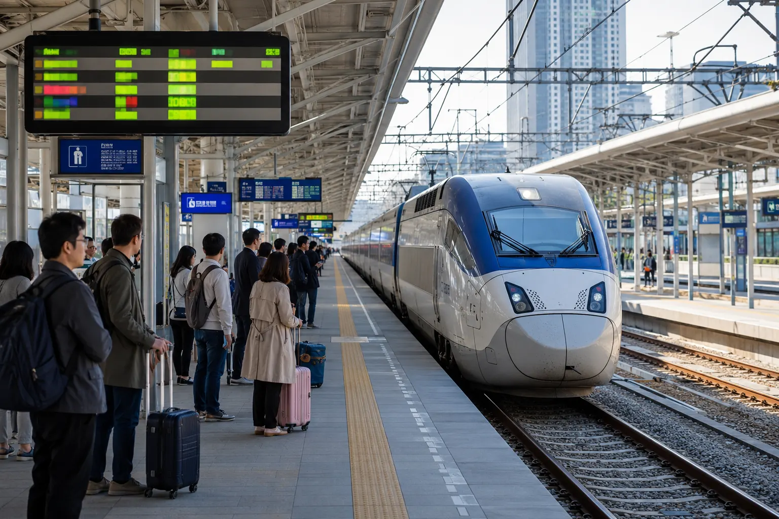
A car-free trip may involve:
- KTX or ordinary train
- Express or intercity bus
- Local city or county bus
- Taxi
- Walking
The regional train or bus may be straightforward, while the final local connection operates only a few times each day. Do not assume a major terminal has a direct park bus. Check the location of the arrival terminal relative to the local bus stop. They may not be in the same building.
Local bus information
Rural bus timetables can be difficult to confirm. Possible sources include:
- Official park page
- City or county transportation page
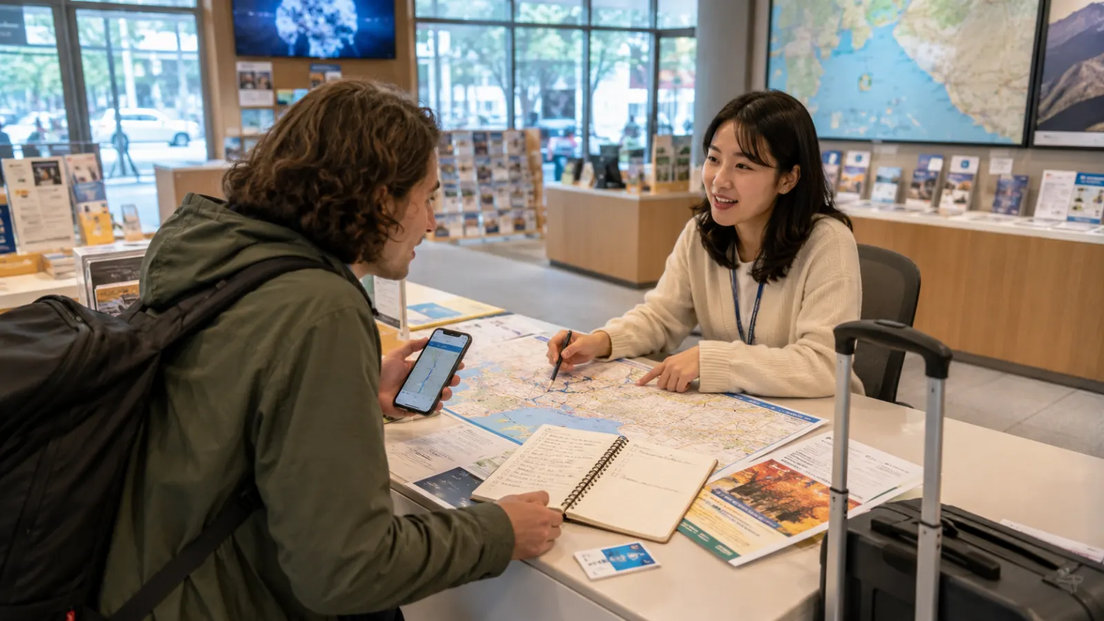
- Local tourism center
- Bus terminal
- Visitor center
- Accommodation
- Korean map apps
- Local phone inquiry
Ask about both weekday and weekend schedules. A timetable posted in an old blog can become outdated. When the final bus is critical, confirm again on the day of travel.
The last return bus controls the hike
Plan backward from the final safe return connection. For example:
- Last local bus leaves at a certain time.
- Walk from trail end to bus stop takes 20 minutes.
- Add a safety margin.
- Determine the latest turn-around time.
- Start early enough.
Do not continue toward a summit simply because it looks close. Mountain travel times can increase because of steep terrain, wet rocks, crowds, fatigue, photography, and route confusion. Missing the last bus may require a costly taxi or an unplanned overnight stay.
Taxis as a backup
Taxis can solve the final transport gap, but rural availability is not guaranteed. Before relying on one, check:
- Local taxi phone number
- App coverage
- Mobile reception
- Estimated distance
- Pickup landmark
- Payment method
- Night availability
- Call-out charges
A taxi may refuse a remote pickup when the road is inaccessible or the distance is inefficient. Do not assume the same app availability found in Seoul applies to a mountain village. Save enough Korean address information to explain the location.
Trail difficulty
Korean trails can be steeper and rockier than their distance suggests. Check:
- Total distance
- Elevation gain
- Expected time
- Stairs
- Rock sections
- Cable or handrail sections
- Water availability
- Toilets
- Shelter
- Exit routes
A five-kilometer mountain trail is not equivalent to a five-kilometer city walk. Use the slowest person in the group when estimating time. Turn back when weather, injury, darkness, or fatigue makes continuation unsafe.
Clothing and equipment
For a basic day hike, consider:
- Stable walking shoes
- Water
- Food
- Weather layer
- Hat
- Sunscreen
- Phone battery
- Portable charger
- Offline map
- Simple first-aid items
- Identification
- Cash and card
- Flashlight
Mountain weather can differ from the city. Bring extra warmth during spring and autumn, even when the morning feels mild. Do not begin a serious trail in fashion shoes because the entrance area looks easy.
Food and water
Some popular entrances have restaurants, convenience stores, or vendors. Others do not. Do not depend on buying water at the trailhead unless confirmed. Carry enough water for the route and weather.
Pack food that is easy to carry and does not create excessive waste. Take all trash back with you. Avoid feeding wildlife.
Toilets
Restrooms are often available near major entrances, temples, visitor centers, and some shelters. They may be absent along long sections of trail. Use facilities before beginning.
Carry basic tissue and hand sanitizer, but follow park rules and do not leave waste on the trail. Do not assume every small bus stop or rural terminal has an open restroom early in the morning.
Weather and seasonal risk
Conditions can change quickly because of:
- Rain
- Snow
- Ice
- Strong wind
- Heat
- Fog
- Typhoon effects
- Wildfire risk
A trail that is comfortable in October can be dangerous in winter. Check both city weather and mountain conditions. After heavy rain, streams, waterfalls, and rocks can become more dangerous.
In winter, appropriate traction equipment and experience may be necessary. Do not continue into conditions beyond your ability because transportation took a long time to reach the park.
Temples and cultural sites
Many national park routes pass temples or cultural properties. Respect:
- Quiet areas
- Religious ceremonies
- Photography restrictions
- Shoes-off spaces
- Dress expectations
- Food rules
- Donation areas
A temple is not simply a hiking rest stop. Check whether the site has separate opening hours from the park trail.
Overnight stays
Some parks are easier without a car when the traveler stays nearby. Accommodation options may include:
- Guesthouse
- Pension
- Hotel
- Temple stay
- Camping
- Mountain shelter where permitted
- Village lodging
Staying overnight allows an earlier start and reduces dependence on a same-day city connection. Confirm check-in, luggage storage, meals, and transportation to the trailhead. Do not assume camping is allowed anywhere inside the park.
Emergency preparation
Save:
- Emergency number
- Park visitor center
- Accommodation
- Trail entrance
- Local taxi
- Group contact
- Return schedule
Tell someone the planned route. Keep the phone charged, but do not rely solely on mobile service. When injured or lost, stop and communicate the trail name, nearby sign, marker, direction, and last known location.
Do not leave the marked route to create a shortcut.
A practical planning checklist
Before departure:
- Choose the exact trail
- Confirm trail status
- Identify the correct entrance
- Check every transport segment
- Confirm the final return bus
- Set a turn-around time
- Check weather
- Pack water and layers
- Save Korean place names
- Prepare a taxi or overnight backup
Car-free national park travel in Korea is possible and rewarding, but it depends on time discipline more than spontaneous decision-making.
Quick Summary
- Korean national parks often have multiple entrances that are far apart.
- Choose the trail first, then build transportation around the correct trailhead.
- Plan backward from the last return bus and set a firm turn-around time.
- Confirm rural transport, weather, trail status, and backup options on the day of travel.